Drone Surveying
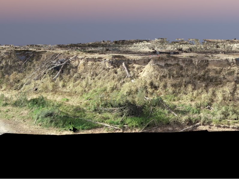
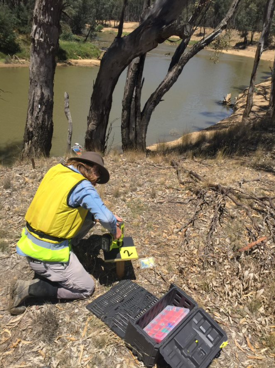
Streamology has been utilizing drone technology and photogrammetry software to assess changes in banks which may occur due to higher than average water levels in the Goulburn River over the last few months.
We are able to generate digital surface models to within 2cm resolution, and can overlay these maps to isolate areas of erosion and deposition on the banks. We are really excited about this technology, and the applications it has within the field of environmental science.
We will be sure to update you with the new and exciting projects we take on utilizing this technology.
In the meantime, click the link below to see Geoff walk with Channel 9 News about this exciting project with the Goulburn Broken Catchment Management Authority.


